


FREE SHIPPING WORLWIDE
WE ACCEPT


Your selection
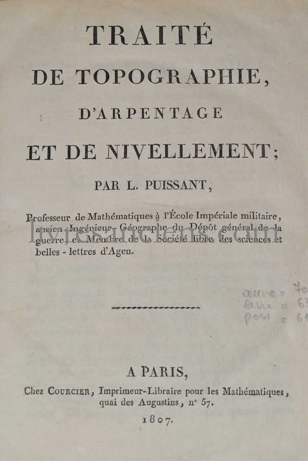
PUISSANT, Traité de topographie, d'arpentage et de nivellement, 1807

PUISSANT, Louis.
Traité de topographie, d'arpentage et de nivellement.
Paris, Courcier, 1807-1810.
Two parts bound in one volume 4to (248x198 mm), xx-331-(19) pages and 6 folding plates / 103-(7)-[105-143]-(1) pages and 2 folding plates. binding : Contemporary quarter sheep, flapt spine. Joints split. Spine chipped.

First edition.
Louis Puissant (1769-1843) was a French engineer, geographer, and mathematician. He was a professor at the central school in Agen in 1795. In 1802 and 1804, he was commissioned to survey the island of Elba in Italy.
Complete with the Supplement published in 1810.
Price : 190 €


European VAT number: FR87515091171
© Eric Zink, Antiquarian Bookseller